

Precision in Perspective.
Professional Aerial Imagery & Data Solutions for the Fredericksburg Region. From scroll-stopping real estate media to weekly construction oversight, we provide the aerial intelligence you need to make informed decisions and win more business.
Where Art Meets Analysis.
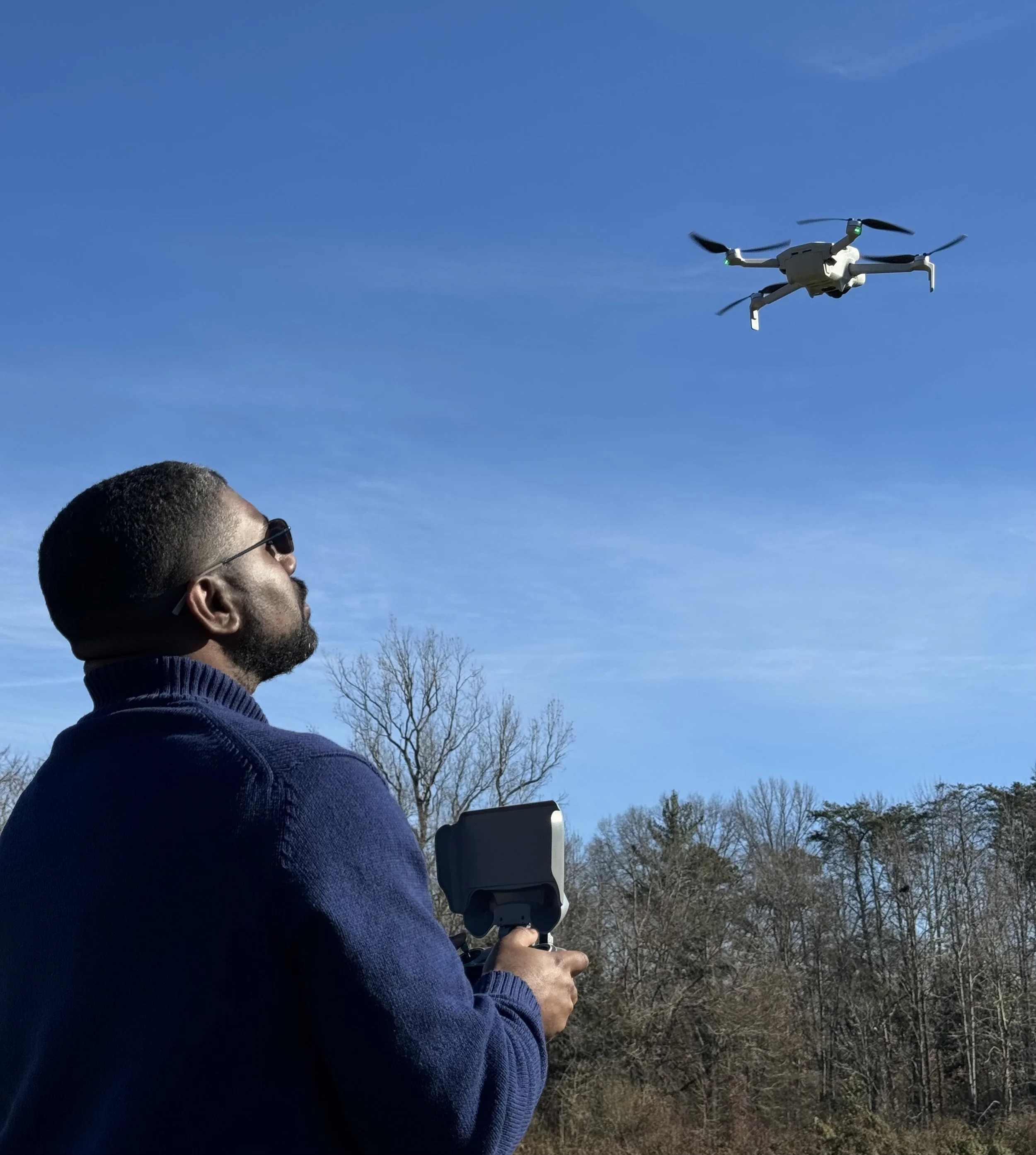
At SkyPix Imagery & Solutions, we believe that high-quality data should be as visually compelling as it is accurate. We provide a dual-edged approach to aerial imagery: the creative eye needed to capture a luxury estate's soul and the technical precision required to document a multi-million dollar construction site. Utilizing advanced 4K optics and FAA-certified flight workflows, we deliver more than just photos—we deliver clarity, confidence, and a higher perspective on your most important assets.
Solutions
-
High-end visuals + accurate property context.
-
Professional video updates + technical site monitoring
-
High-zoom inspections with professional reporting
-
Light Hauling
Why SkyPix Imagery & Solutions
FAA Certified: Fully compliant with Part 107 regulations.
Insured: $1M+ liability coverage on every mission for your peace of mind.
Local: Proudly serving Fredericksburg, Stafford, and the surrounding counties.
Rapid Turnaround: Data and media delivered within 24–48 hours.
Ready to Elevate Your Project?
Let’s get your mission on the schedule. Contact us today for a custom quote based on your project’s specific needs.